Other
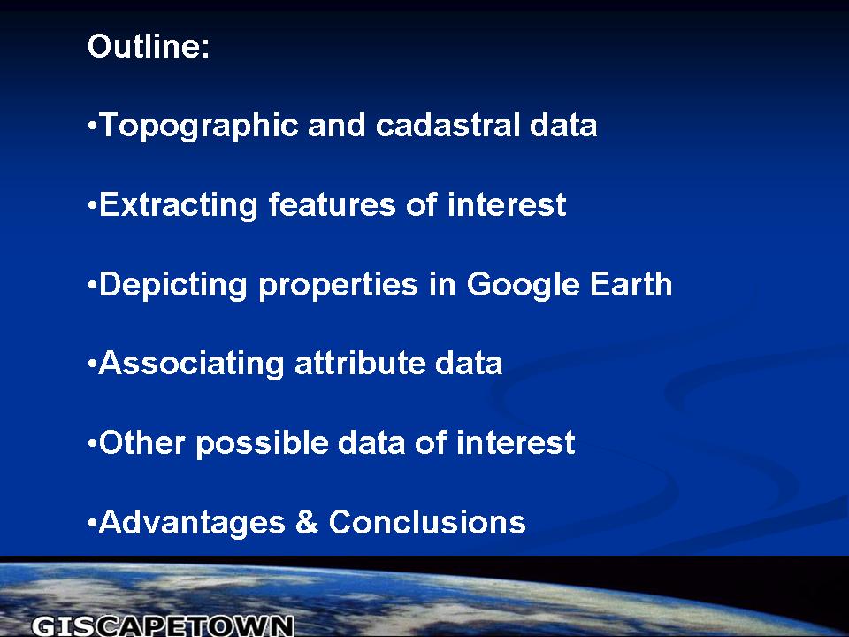
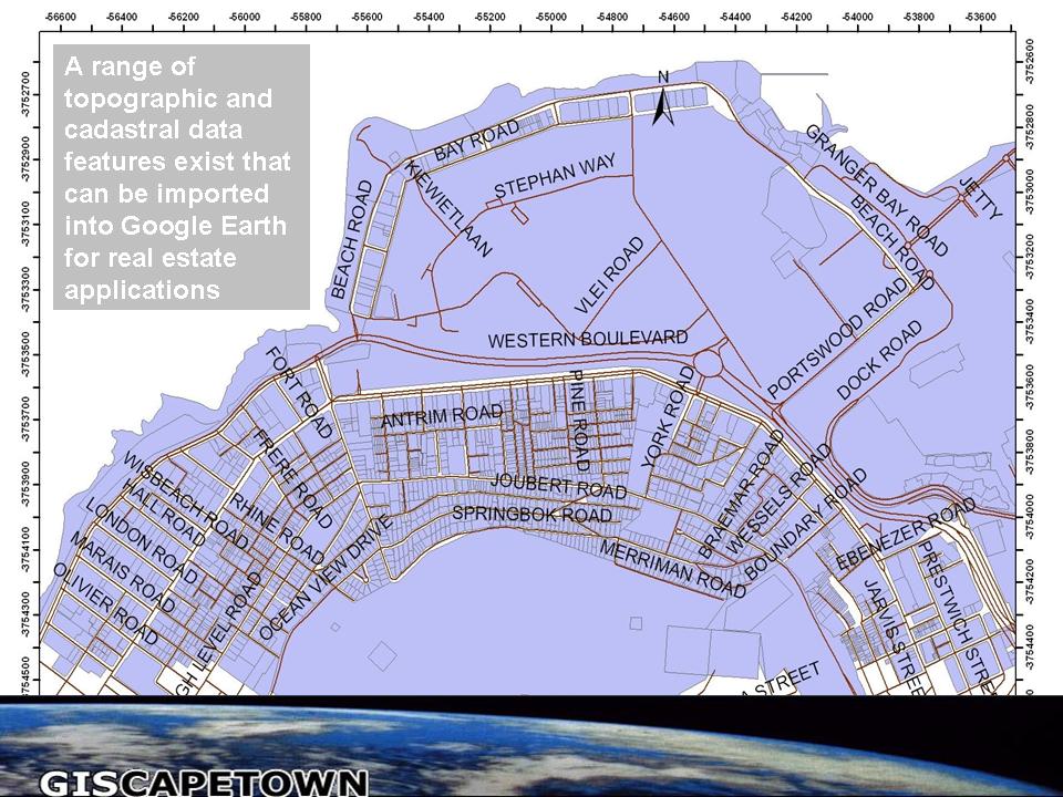
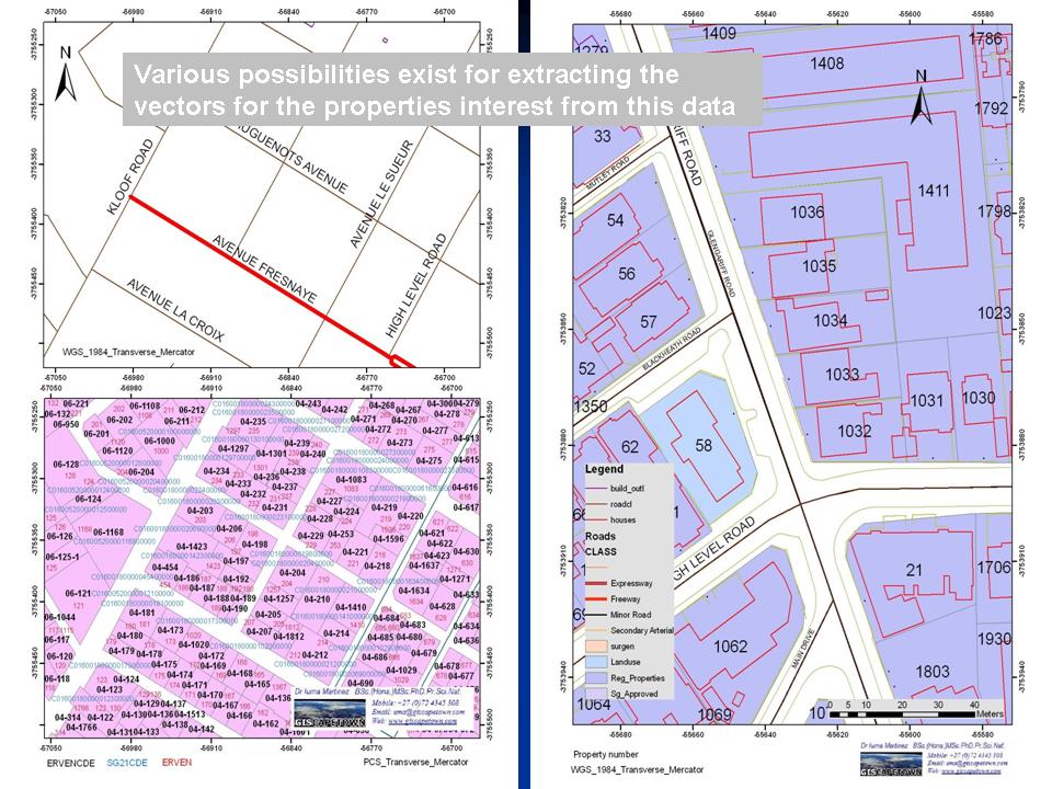
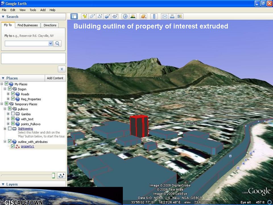
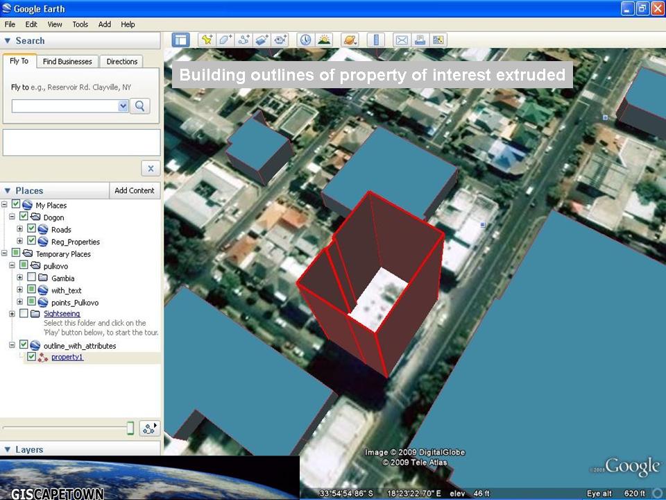
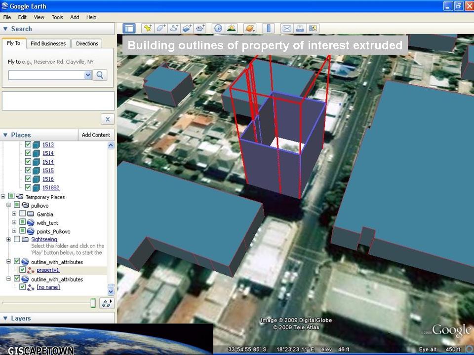
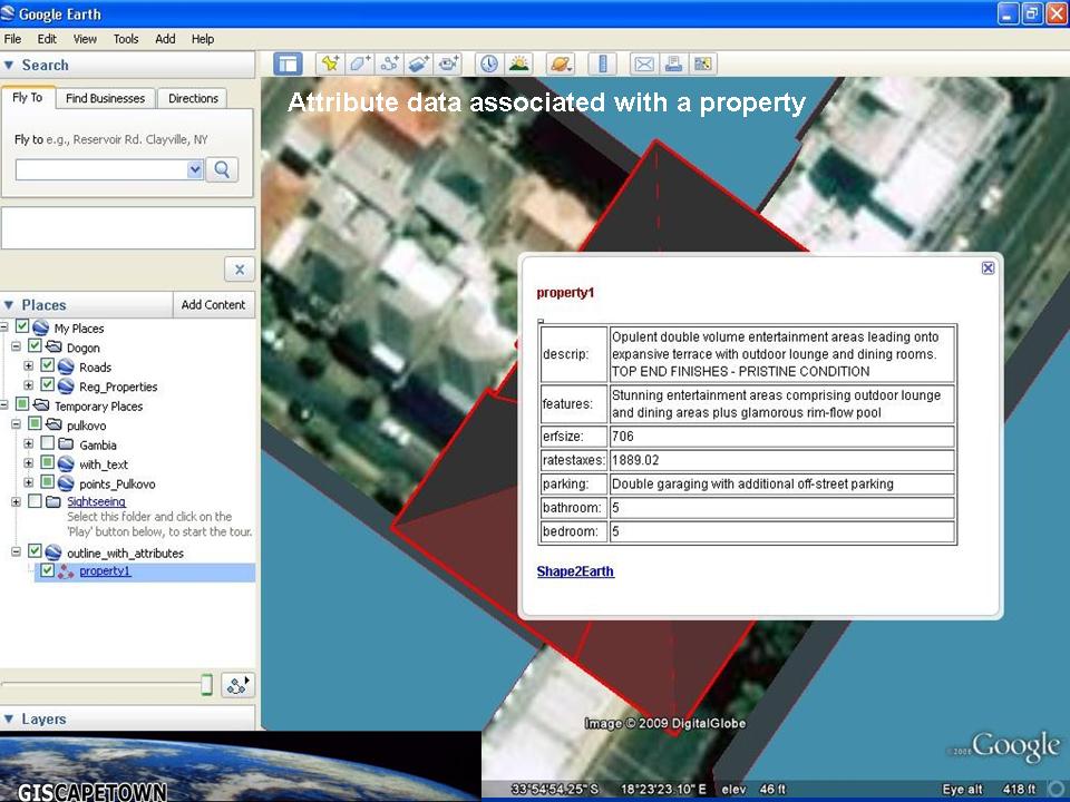
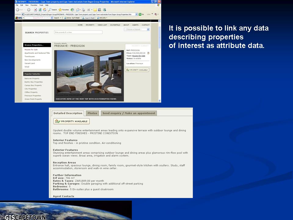
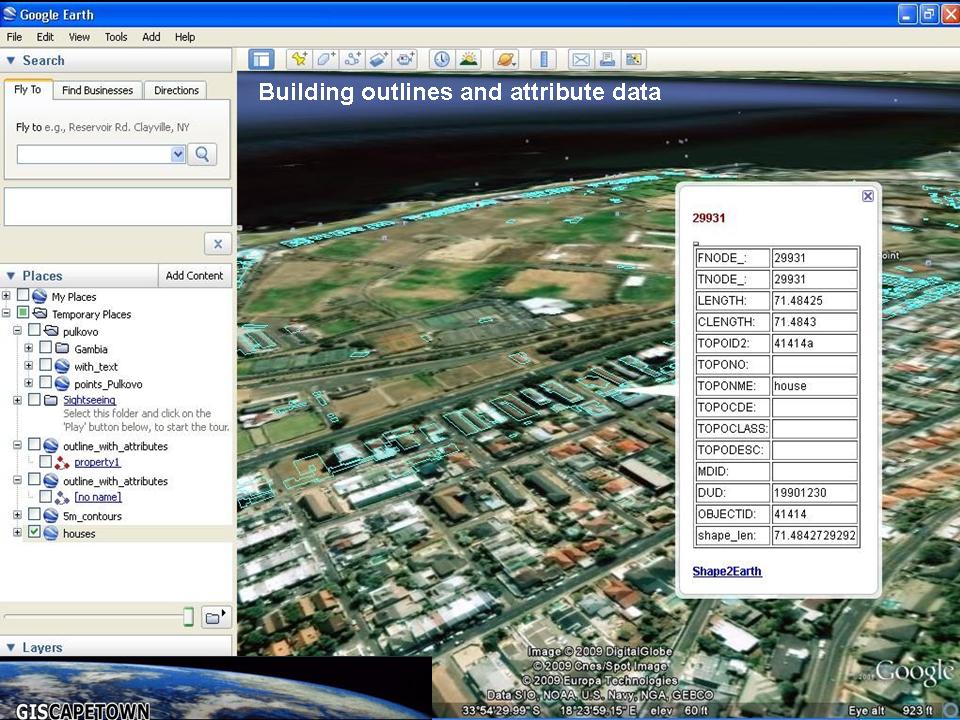
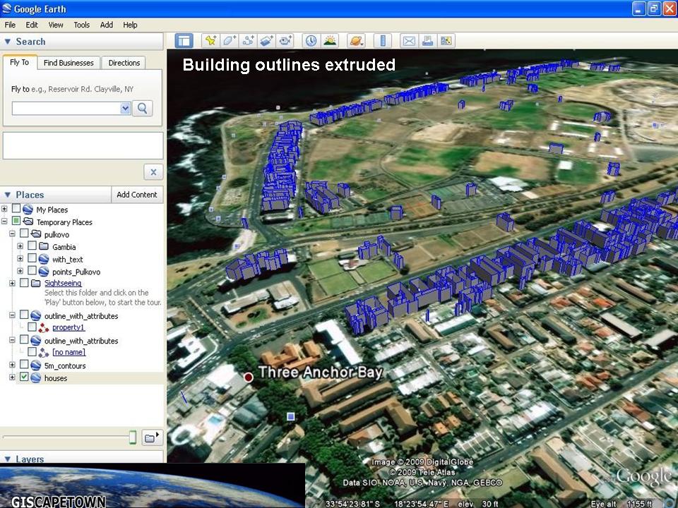
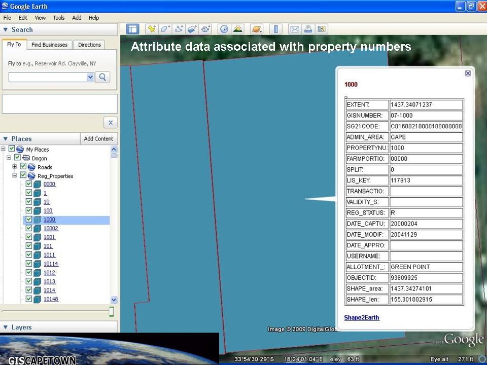
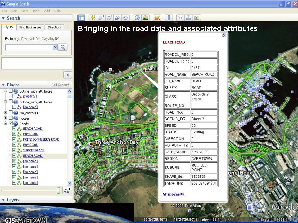
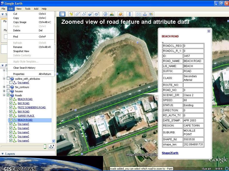
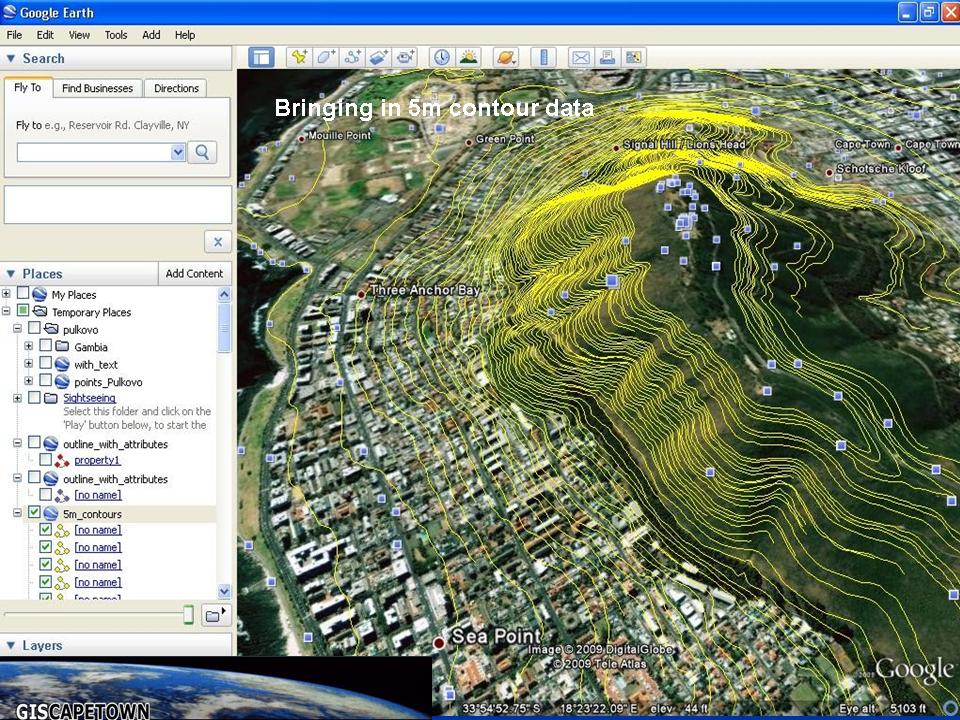
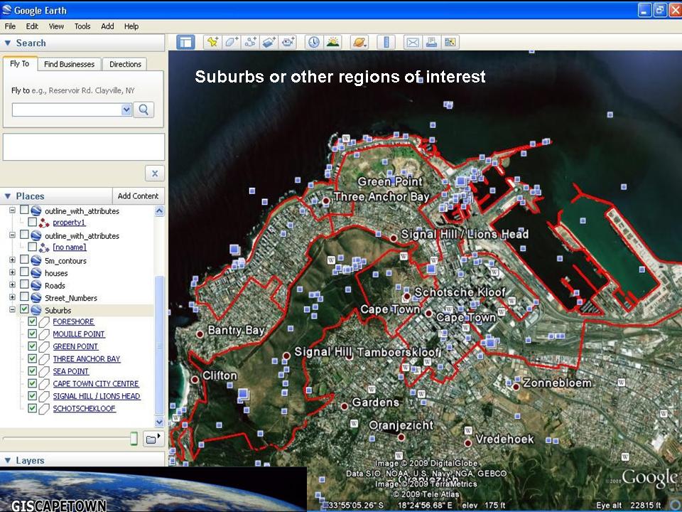
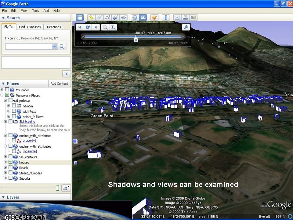
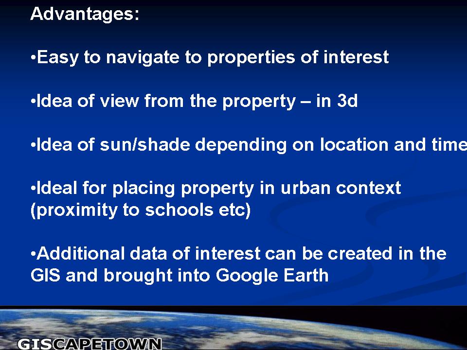
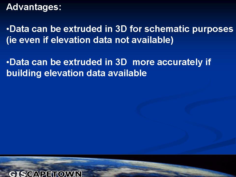
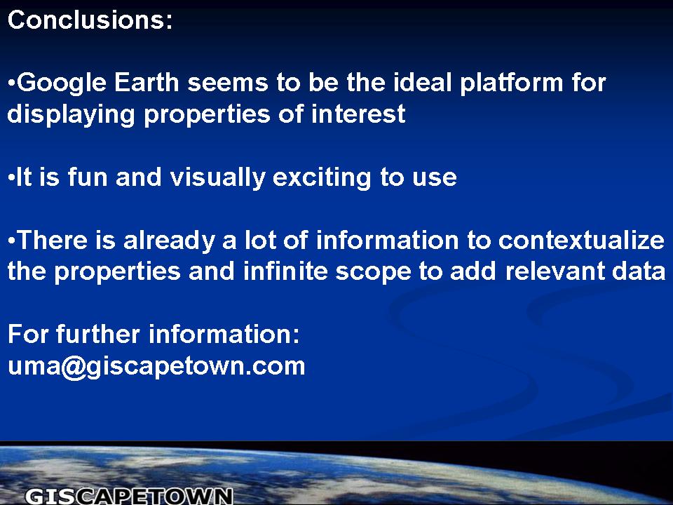
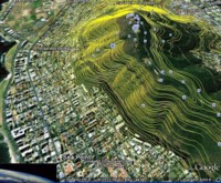
Google Earth-GIS interfacingGoogle Earth probably represents the most well known and utilized freely accessible virtual globe to date. As such it provides the ideal GIS data distribution / publishing platform. Giscapetown has recently developed a growing interest in Google Earth-GIS database interfacing and publishing and is currently investigating some pilot projects in this area. The images below illustrate how real estate properties may be placed in the context of the Google Earth landscape and any other existing topographic and cadastral vector data. It is relatively easy to extract features / properties of interest and to create attribute data or hyperlinks to WebPages of interest during the conversion process. Google Earth seems to be the ideal platform for displaying properties and other features of interest. Some of the advantages of utilizing Google Earth as a GIS data publishing platform include:
Another GE-GIS application that was recently initiated is associated with monitoring Dugong & Manatee sightings along the African coast. For further info on the ADAM webpage contact: Mr Viv Stuart-Williams of VP3 Geo Services(http://www.vp3.co.za/index.html). The Titan Viewer® (developed by ERDAS®), ArcGIS Explorer® (developed by ESRI®)and WorldWind® (developed by NASA) provide provide excellent alternative virtual globe data publishing environments. Each has it’s advantages and perhaps the mother GIS platform is the deciding factor in which globe is selected for data distribution.(While it is easiest to interface spatially referenced GIS data, it is not essential for the initial data to be provided in this format. Any image, vector, point location or text information can be published on Google Earth as kml files if the associated information for georeferencing the data is provided.) (Click here for gallery viewer.) |
More images: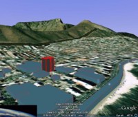
|
||||||||||||||||||||||||||||||||||||||||||||||||
Click on images to view higher resolution versions where available. Website © copyright GISCAPETOWN 2006-2009 All rights reserved worldwide. All photographs and illustrations reproduced on this site are protected under copyrights by their lawful owners. For the use or reproduction of any material from this website, for prior permission please contact: uma@giscapetown.com |
AcknowledgementsThe City Maps division of the Cape Town City Council is gratefully acknowledged for the raw vector data that was employed in this pilot study. |
||||||||||||||||||||||||||||||||||||||||||||||||