Offshore
Offshore surveying
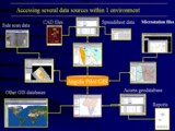
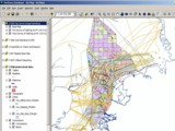
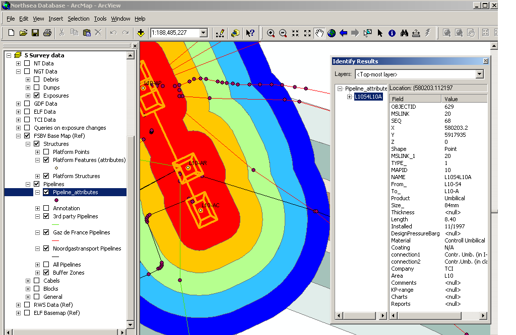
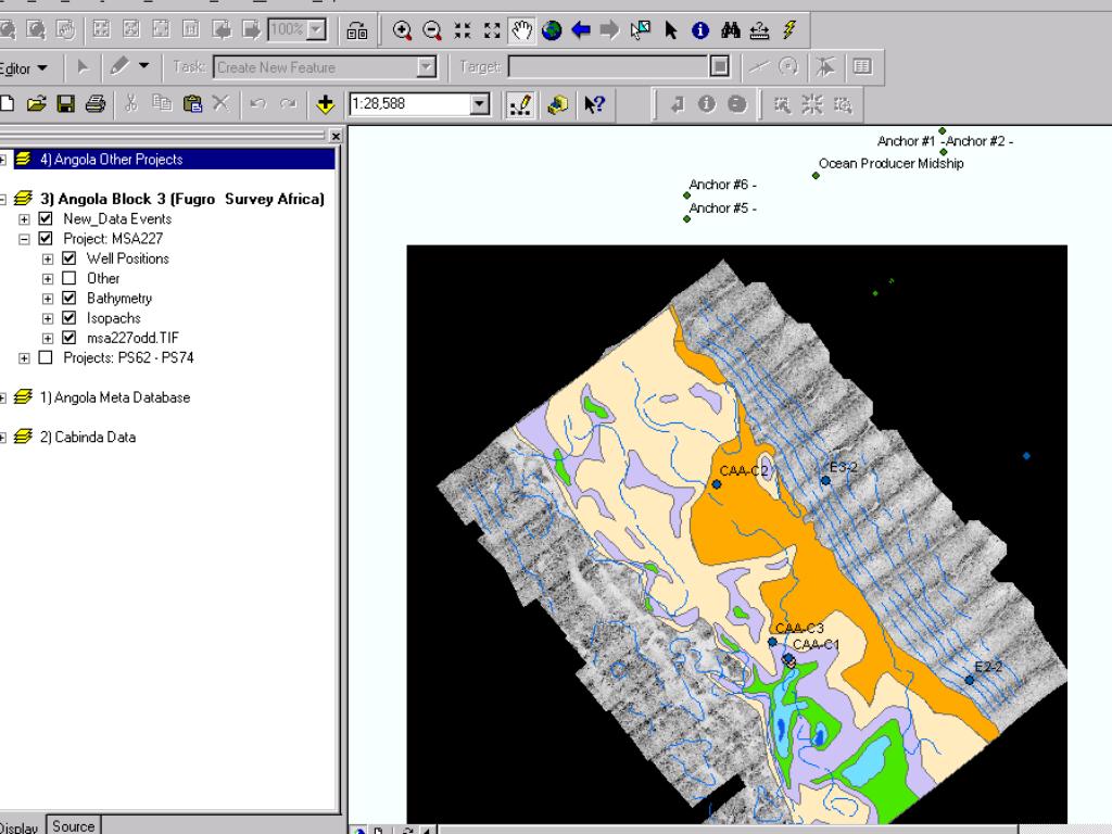
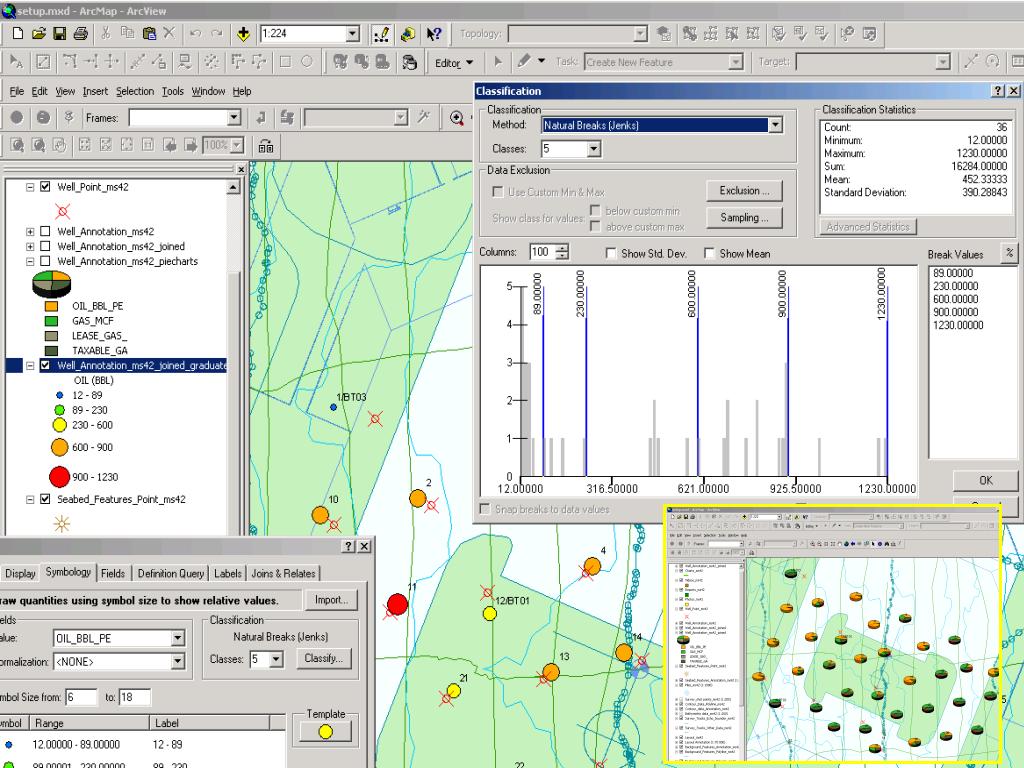
In the offshore surveying industry GIS can be used to aid project management and to link multiple databases. I have been able to experience dealing with huge volumes and a variety of formats of data, evaluate in-house and third party GIS software and observe trends in corporate GIS developments in the US and Europe. The illustrations here are derived from pilot GIS databases developed for the North Sea Dutch Sector and offshore Angola. They illustrate the application of tools such as buffering, hyper-linking (video files etc), hierarchical data frame structures and querying.
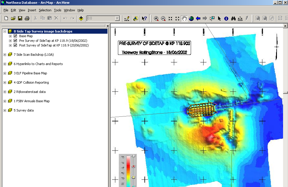
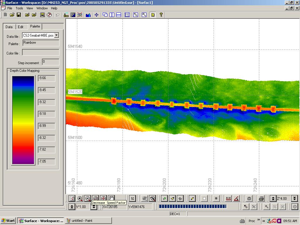
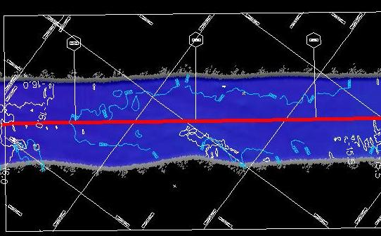
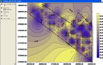
With respect to data processing I have had some experience with processing, generating profiles, contouring, mosaicing and charting: side scan sonar, ROV and multi-beam data. This work has been carried out in Isis, Delphmap, Microstation V8 and the Fugro Starfix / VBProc software suite. (SwatheEdit, Surface). Shown below are images associated with multi-beam data processing, an alignment Chart Panel, Pipeline and Platform attribute data.
|