Other Applications
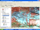
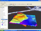
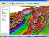
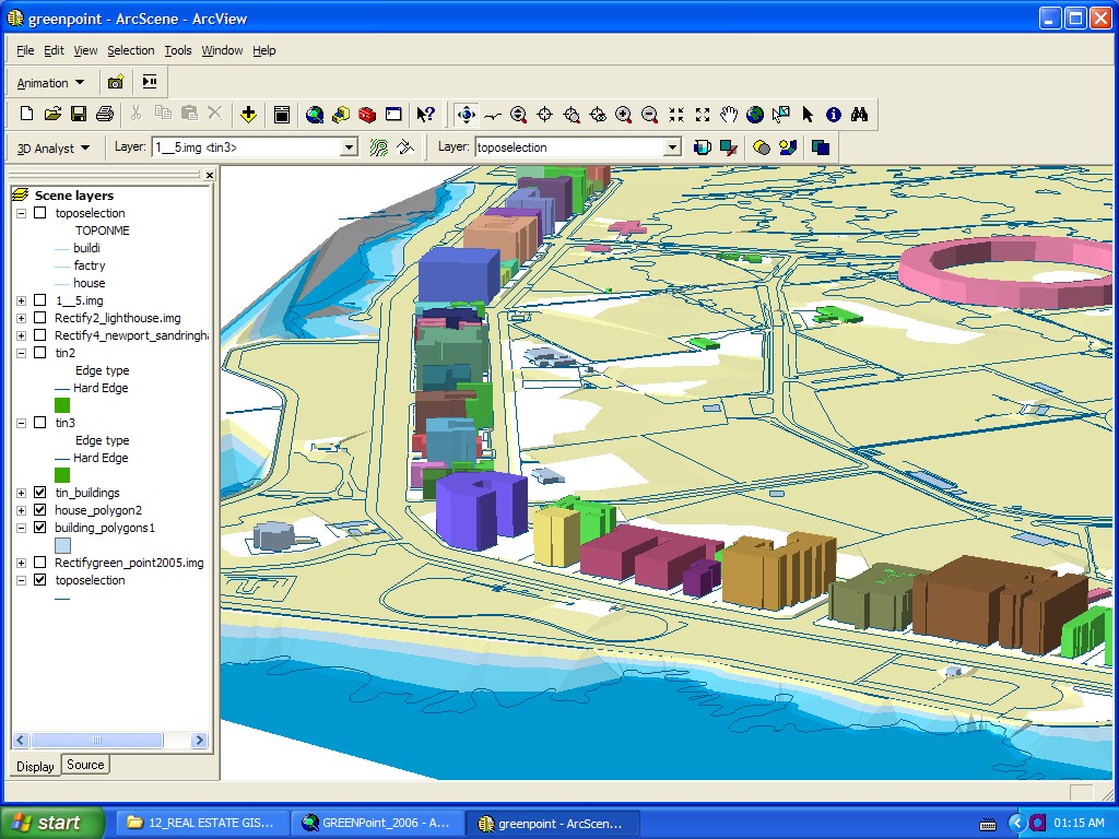
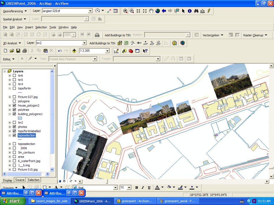
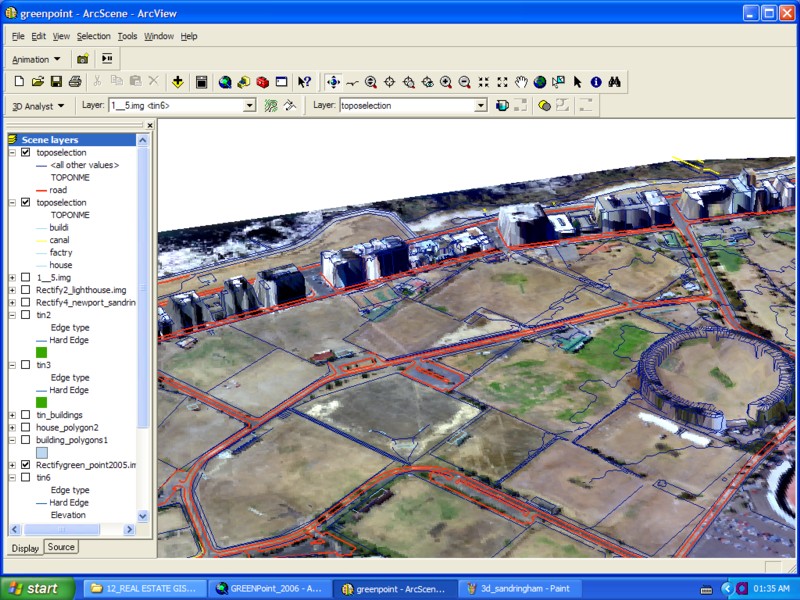
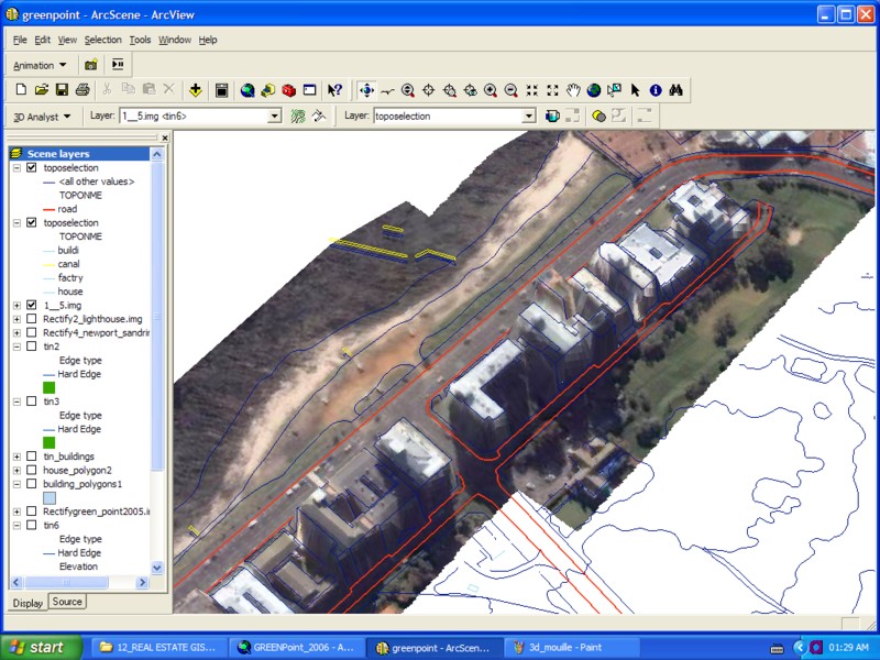
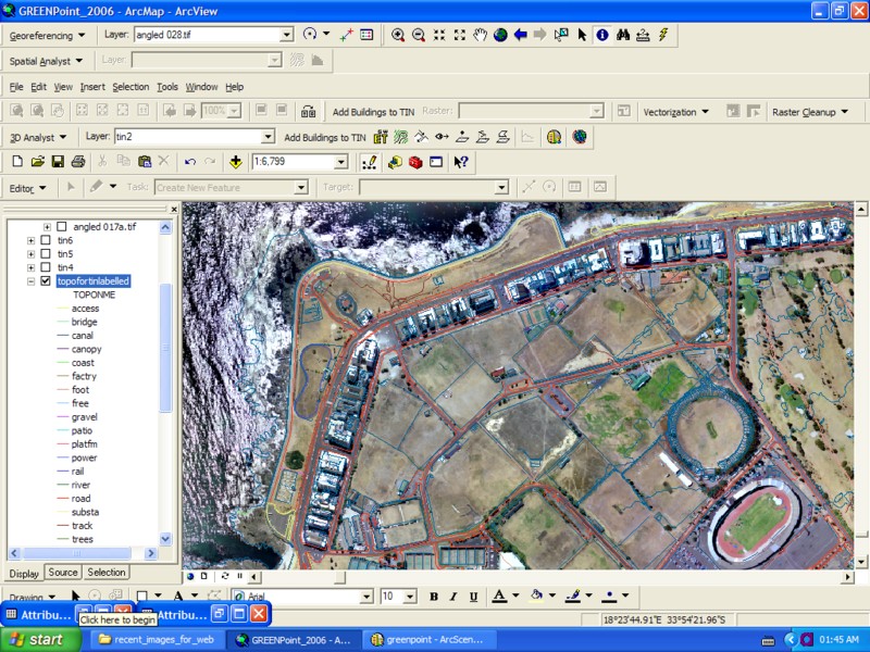
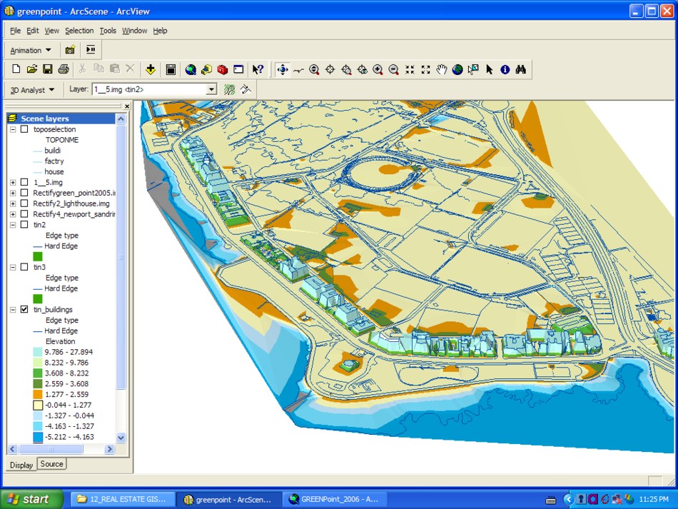
Other GIS Applications:A wide range of GIS applications have also been developed for the urban,catchment, offshore and other environments. A variety of satellite data and alternative GIS data publishing environments have also been worked with. For further examples please refer to the following links: Google Earth-GIS InterfacingOffshore surveying Informal settlement upgrading Integrated Catchment Management Other Esoteric / Humanitarian applications In addition to the use of Landsat and radarsat imagery, other forms of satellite imagery may be used to map out mineralogically interesting areas. These data types include multispectral satellite (ASTER: VNIR, SWIR and TIR channels; ALI) and hyperspectral satellite (Hyperion) and airborne (Hyvista) data. Other possible applications include the creation of 3d models of geological data. Below are some examples of how geophysics magentic anomaly data can be visualised in 3d. Also shown are some examples of how GIS can be used in Real Estate. Aerial photography or satellite data can be overlain with cadastral vector data and photographs. Also, provided adequate height data exists, the urban space can be examined in 3d and animations can be easily constructed using the ArcScene and ArcGlobe ESRI software. Once a surface is created in the ArcScene environment other data coverages may be draped, floated above the surface or extruded to the surface of interest. In addition to the areas discussed here, GIS is used in a multitude of other areas ranging from wildlife conservation, telecommunications, transportation, electricity supply, disaster management, agriculture etc.. The list is endless, but the basic principles and tools remain the same no matter what spatial phenomenon or process one is trying to understand, model or optimize. |
||||||||||||||||||||||||||
Click on images to view higher resolution versions. |
Tourism
Disaster Mapping / Fire Hazards
3D Modelling
AcknowledgementsSome of the following images were derived from work carried out for Tsodilo Resources Pty Limited. |
|||||||||||||||||||||||||